


Our Services
Tolling
GeoToll handles high-occupancy toll lanes, congestion pricing, and interoperability.
Safety Features
Wrong-way driving detection, construction and accident zones, emergency assistance.
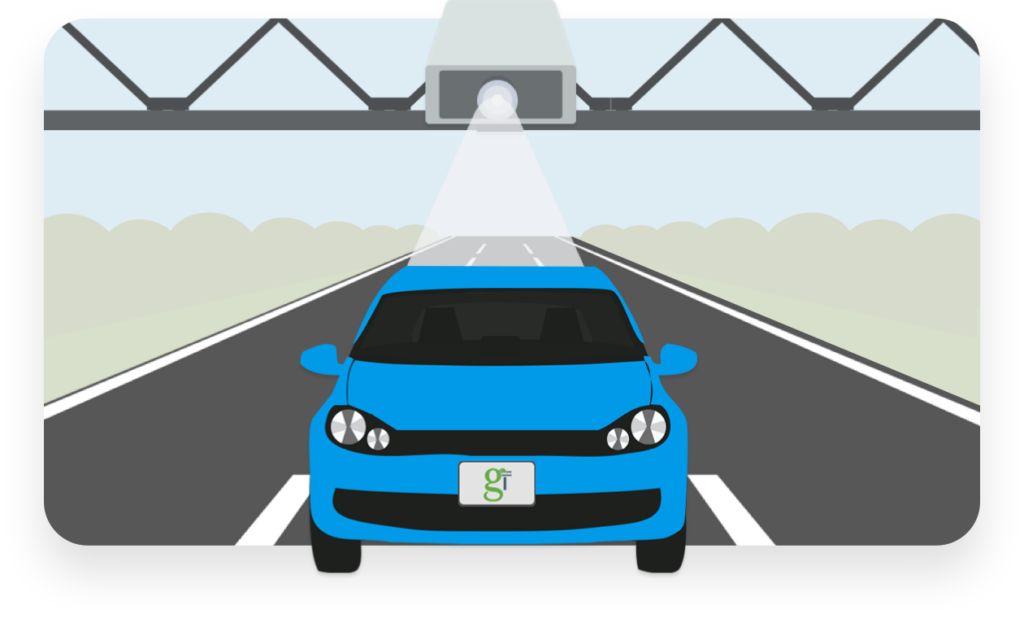
Tolling
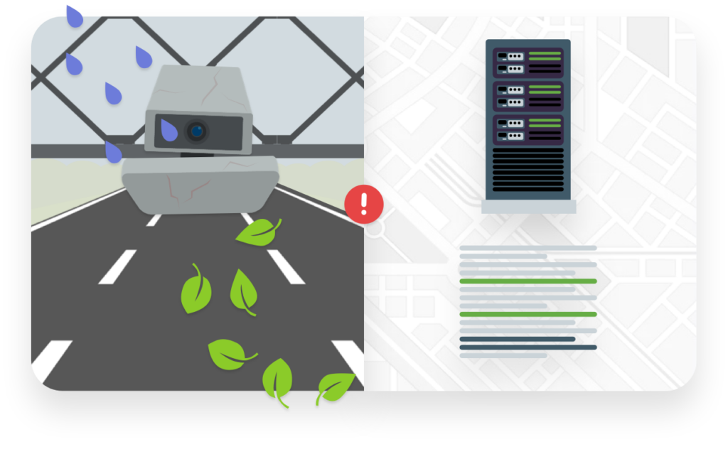
GeoToll uses flexible Enhanced GPS (E-GPS Flex™), a patented technology that makes tolling possible via smartphones. E-GPS Flex™ can complement or even replace Pay-by-Plate video tolling and RFID systems.
- High-occupancy toll (HOT) lanes
- Congestion pricing
- Interoperability
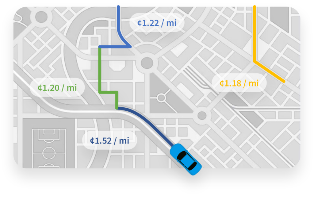
Road Usage Charge (RUC)
GeoToll’s platform makes RUC incredibly efficient and highly scalable, and thus more financially sustainable.
- Mileage recording options (MRO)
- Customer account management (CAM)
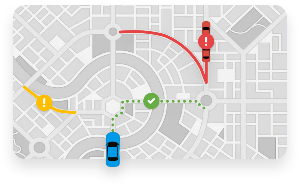
Safety Features
GeoSafety™ enhances safety for drivers and law enforcement officers using alerts, while GeoAssist helps drivers when requesting help.
- Wrong-way driving alerts
- Construction and accident zones
- Crash detection
- Emergency service assistance
Auditing
GeoAudit™ helps agencies identify anomalies in their system using advanced analytics on the transaction records.
- System degradation
- Duplicate transaction detection
- Wrong charge detection
- Wrong axle detection